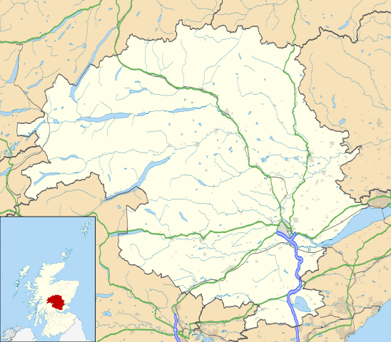
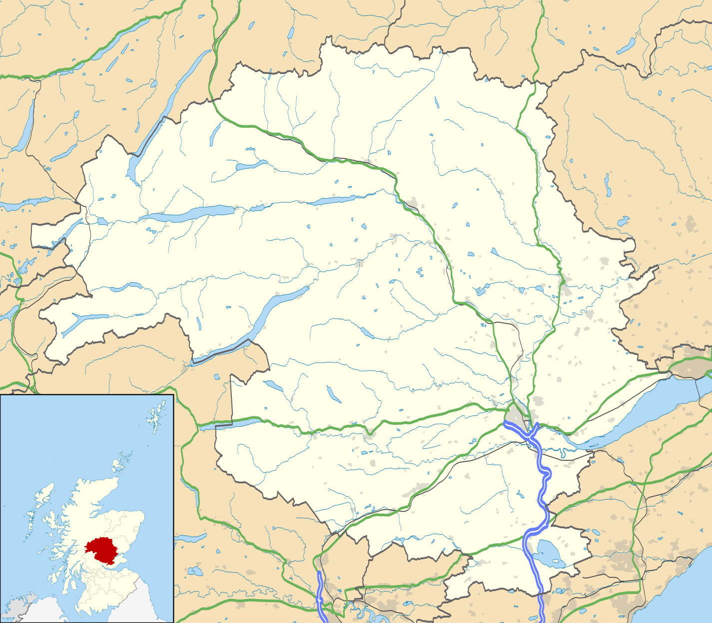
Файл:Perth and Kinross UK location map.svg

SVG сығанаҡ файлы өсөн PNG ҡарап сығыу ваҡытындағы күләме: 685 × 600 пиксель. Башҡа айырыусанлыҡтар: 274 × 240 пиксель | 548 × 480 пиксель | 877 × 768 пиксель | 1169 × 1024 пиксель | 2339 × 2048 пиксель | 1425 × 1248 пиксель.
Сығанаҡ файл (SVG файлы, кәмендә 1425 × 1248 нөктә, файлдың дәүмәле: 1,71 Мб)
Был файл һаҡлау урыны Викиһаҡлағыста һаҡлана. Уның тураһында мәғлүмәттәр түбәндә күрһәтелгән.
Викиһаҡлағыс — Викимедиа проекттарында ҡулланылған ирекле файлдар өсөн үҙәкләштерелгән һаҡлағыс. |
Royal infirmary
| Тасуирлау |
Blank map of Perth and Kinross, UK with the following information shown:
Equirectangular map projection on WGS 84 datum, with N/S stretched 180% Geographic limits:
|
| Көнө | |
| Сығанаҡ |
|
| Автор | Nilfanion, created using Ordnance Survey data |
| Рөхсәт (Был файлды ҡабатлап ҡулланыу) |
Был файл Creative Commons Attribution-Share Alike 3.0 Unported лицензияһы буйынса рөсхәт ителә. Авторлыҡты асыҡлау: Contains Ordnance Survey data © Crown copyright and database right
|
| Башҡа өлгөләр | File:Perth and Kinross UK blank map.svg - Blank map |
Файл тарихы
Файлдың күрһәтелгән ваҡытта ниндәй өлгөлә булғанын ҡарар өсөн баҫығыҙ: Дата/ваҡыт
| Дата/ваҡыт | Миниатюра | Үлсәмдәре | Ҡатнашыусы | Иҫкәрмә | |
|---|---|---|---|---|---|
| ағымдағы | 20:21, 26 сентябрь 2010 | | 1425 × 1248 (1,71 Мб) | Nilfanion | {{Information |Description=Blank map of Perth and Kinross, UK with the following information shown: *Administrative borders *Coastline, lakes and rivers *Roads and railways *Urban areas Equirectangular map projection on WGS 84 dat |
Файл ҡулланыу
Был файлды киләһе бит ҡуллана:
Файлды глобаль ҡулланыу
Был файл түбәндәге википроекттарҙа ҡулланыла:
- ar.wikipedia.org проектында ҡулланыу
- bg.wikipedia.org проектында ҡулланыу
- ceb.wikipedia.org проектында ҡулланыу
- de.wikipedia.org проектында ҡулланыу
- en.wikipedia.org проектында ҡулланыу
- Perth, Scotland
- List of monastic houses in Scotland
- Perth and Kinross
- Crieff
- Auchterarder
- Pitlochry
- Kinross
- Blairgowrie and Rattray
- Blair Atholl
- Inchtuthil
- Blair Castle
- Dunning, Perth and Kinross
- Milnathort
- Abernethy, Perth and Kinross
- Coupar Angus
- McDiarmid Park
- Aberfeldy, Perth and Kinross
- Scone Palace
- Broxden Junction
- Errol, Perth and Kinross
- Huntingtower and Ruthvenfield
- Comrie, Perth and Kinross
- Ardoch Roman Fort
- Kenmore, Perth and Kinross
- Abbots Deuglie
- Aberargie
- Abercairny
- Aberdalgie
- Abernyte
- Aberuthven
- Achalader
- Acharn, Perth and Kinross
- Achnafauld
- Airntully
- St Fillans
- Battle of Two Rivers
- Blackford, Perth and Kinross
- Dunkeld
- Killiecrankie
- Fortingall Yew
- Bridge of Earn
Был файлды глобаль ҡулланыуҙы ҡарарға.